
Thermal cameras, whether mounted on land vehicles or aerial platforms, have become invaluable tools in search and rescue (SAR) operations. By detecting heat signatures, these cameras can locate individuals in low-visibility conditions such as darkness, smoke, or dense foliage. Here, we explore various instances where thermal cameras have played a critical role in SAR missions.
California Wildfires (2020)
During the devastating wildfires in California in 2020, firefighters used drones equipped with thermal cameras to locate and rescue people trapped by the flames. These aerial thermal cameras were crucial in identifying heat signatures through thick smoke and dense vegetation, enabling swift and effective rescues.
The fires burned through 86,000 acres of San Mateo County, destroying almost 1,500 buildings. The fires raged for days, and California fire analysts were able to gather predictive data based on infrared analysis of the fires from aircraft, determining where the fire would spread to coordinate evacuations and potential rescues.
European Migrant Crisis (2015)
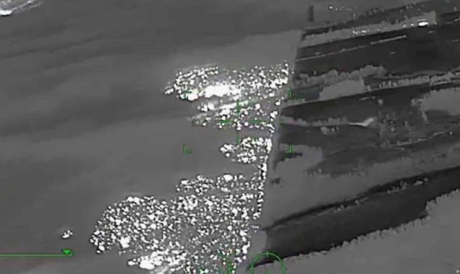
During the peak of the European migrant crisis, thermal cameras mounted on drones and helicopters were extensively used to locate boats carrying migrants across the Mediterranean Sea. The thermal imaging helped identify vessels in distress, especially during night operations, allowing rescue teams to provide timely assistance. Thermal cameras and heartbeat detectors are also used to detect signs of people concealed inside vehicles.
Colorado Hiker Rescues
In Colorado, drones equipped with thermal cameras are frequently deployed to look for hikers who became lost in the wilderness. These cameras can easily distinguish between the heat-emitting bodies of living things and the surrounding woods, and since they can keep searching at night, this makes them far more effective than full color cameras. Since they are mounted on aerial drones, they can also be used to submit location information to rescuers, guiding them to the location of any victims.
Australian Bushfires (2020)
During the 2020 bushfire season in Australia, thermal cameras mounted on fire trucks were employed to locate and rescue individuals trapped by the fast-moving fires. The cameras’ ability to see through smoke and darkness was crucial in directing rescue efforts and saving lives. Before Australian firefighting teams had access to thermal cameras, they considered themselves underequipped to handle the chaos of and scale of wildfires in South Australia. When thermal cameras arrived, they were able to tackle the most pressing needs to fill in gaps in aerial surveillance information thanks to thermal’s ability to see through smoke as well as locate victims who could not otherwise be seen by the naked eye.
Avalanche in the French Alps
In the French Alps, skiers buried under avalanches can be found using a thermal camera mounted on a drone. The camera’s thermal imaging capability allowed the rescue team to detect the skier’s body heat beneath the snow, significantly increasing the chances of a successful rescue.
Thanks to the long range detection capabilities innate in thermal imaging, rescue drones can detect even victims buried under the snow at ranges of up to 2 miles away. There is also a loudspeaker which lets the drone pilot back at the take-off position to speak to people on the ground. The hope is that at some stage in the future the drone will be able to carry a walkie-talkie radio which could be dropped to an injured skier, for example, to allow two-way communication.
Thailand Cave Rescue (2018)
The dramatic rescue of the youth soccer team trapped in Thailand's Tham Luang cave involved a combination of thermal cameras on drones and ground vehicles. The aerial thermal cameras were able to create the first 3D map of the cave’s interior temperature variations, while ground vehicle-mounted cameras helped navigate rescuers through the complex cave system.
Hurricane Harvey (2017)
During Hurricane Harvey in Texas, thermal cameras on both drones and land vehicles were deployed to locate stranded residents. The cameras’ ability to detect heat signatures through the rain and floodwaters enabled SAR teams to find and rescue people from flooded homes and vehicles.
Nepal Earthquake (2015)
In the aftermath of the 2015 Nepal earthquake, thermal cameras on drones and ground vehicles were used to locate survivors trapped under collapsed buildings. The combined use of aerial and land-based thermal imaging facilitated a coordinated and efficient search and rescue operation.
Thermal cameras, whether mounted on aerial platforms or land vehicles, have proven to be indispensable tools in search and rescue operations. Their ability to detect heat signatures in low-visibility conditions has saved countless lives in various scenarios, from natural disasters to wilderness rescues. As technology advances, the integration of thermal imaging in SAR missions will continue to enhance the effectiveness and efficiency of these life-saving efforts.
FAQs about Thermal Cameras in Search and Rescue Operations
1. How do thermal cameras help in search and rescue missions?
Thermal cameras can detect heat signatures, allowing rescuers to locate individuals in low-visibility conditions such as darkness, smoke, or dense foliage.
2. In what situations have thermal cameras been particularly useful in search and rescue operations?
Thermal cameras have been critical in scenarios like California wildfires, European migrant crisis, Colorado hiker rescues, Australian bushfires, and avalanche rescues in the French Alps.
3. How are thermal cameras used during wildfires?
During wildfires, thermal cameras mounted on drones or vehicles help locate and rescue people trapped by the flames by identifying heat signatures through smoke and vegetation.
4. What role do thermal cameras play in locating lost hikers?
In instances like the Colorado hiker rescues, drones equipped with thermal cameras can easily distinguish between heat-emitting bodies of living things and the surrounding woods, aiding in locating lost hikers.
5. How have thermal cameras improved rescue efforts during natural disasters?
Thermal cameras have significantly improved rescue efforts by enabling rescuers to see through smoke, darkness, and other obstacles, leading to more effective and timely rescues.